Hokianga Harbour New Zealand. Hokianga Harbour sits on the west coast of Northland, in the North Island of New Zealand. It is a long estuarine drowned valley, often described as a fiord-like inlet on the western edge of the North Auckland Peninsula. For travellers making their way through the far north, this is a place where a slow pace is the whole point. The harbour, the sand dunes and the small settlements that line the water all reward time spent exploring.
The Hokianga is known by a much longer traditional name. Its full name, Hokianga-nui-o-Kupe, means “the final departing” in reference to the great Polynesian voyager Kupe. Māori have long referred to the Hokianga as “the nest of the northern tribes”, a phrase that captures its importance as a gathering place and homeland. The harbour is also the fourth-largest in New Zealand, a fact that catches many visitors off guard.
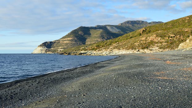
Because the harbour is easily accessible from Auckland and from other Northland towns, it makes an excellent road trip destination. The most rewarding approach comes from the south, along a stretch of the Twin Coast Discovery Highway. Watch the scenery build as you drive: wide open beaches and rocky headlands appear between the Hokianga Harbour and the Waimamaku River, hinting at the wild coastline ahead.
Where is Hokianga Harbour?
Hokianga Harbour lies on the west coast of Northland, in the far north of the North Island. Its coordinates are -35.4835, 173.3936, placing it on the western side of the North Auckland Peninsula. The harbour extends inland as a long, winding estuary, which is why you will also see it described as the Hokianga River.
Getting there from Auckland is straightforward, and the harbour is also within easy reach of other towns around Northland. The west coast location gives the Hokianga a distinct personality compared with the Bay of Islands. Expect dramatic skies, exposed headlands and a coastline that feels much wilder than the sheltered bays on the east side of the peninsula.
What does Hokianga mean?
The full traditional name for the area is Hokianga-nui-o-Kupe. The name translates as “the final departing”, a reference to the voyager Kupe, who features throughout Māori oral history in the far north. The Hokianga is tied to the final chapter of Kupe’s story, which is where the name comes from.
Beyond the name itself, the Hokianga is known as “the nest of the northern tribes”. That phrase speaks to how many northern iwi trace connections to this harbour. For visitors, understanding that history adds another layer to the landscape. This is not just a pretty harbour; it is one of the most significant bodies of water in the country’s historical story.
A harbour shaped by the sea
Geographically, the Hokianga is fascinating. It is a long estuarine drowned valley, which means a river valley was flooded by the sea over thousands of years to create the harbour seen today. The result is a fiord-like inlet that pushes deep inland from the coast. This is also why the harbour is sometimes called the Hokianga River, because the two names describe different parts of the same waterway.
The size of the harbour takes many people by surprise. It ranks as the fourth-largest harbour in New Zealand, yet it feels far more intimate than that sounds. The settlements around the harbour are small, the pace is relaxed and the shoreline remains largely undeveloped. For many visitors, that is exactly the appeal.
Things to do at Hokianga Harbour New Zealand
There is no shortage of ways to spend time at the Hokianga. The list of activities reads like a wishlist for an outdoor holiday: cycling, sandboarding, fishing, kayaking, swimming, horse riding and walking. You can push yourself physically or simply find a spot to sit and watch the light change over the water.
Sandboarding is one of the standout experiences. The dunes near the harbour entrance are enormous, and sliding down them is an unforgettable way to spend an afternoon. Fishing and kayaking make the most of the harbour itself, while horse riding and walking suit travellers who prefer to explore at a steadier pace. Cycling is another popular option, particularly for those touring Northland on their own schedule.
The giant sand dunes of Hokianga
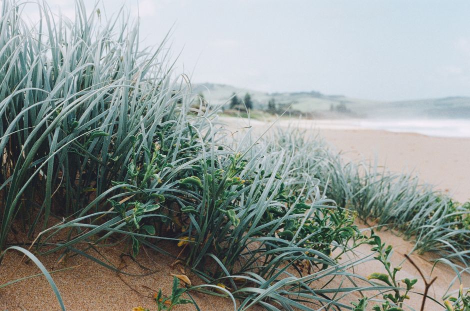
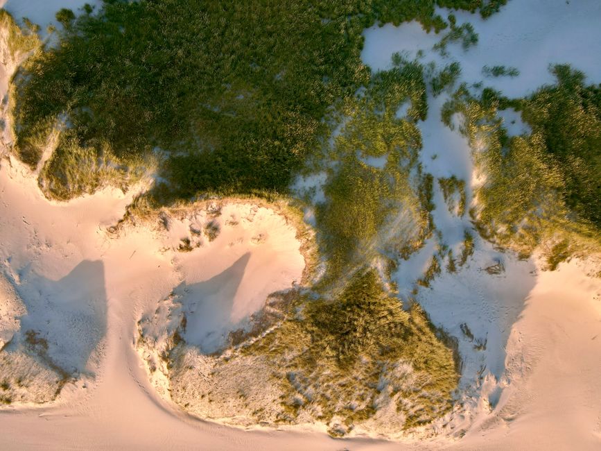
Near the coast, the dune hills rise up more than 150 metres, covering the bedrock beneath. These are not the modest dunes you might picture from other beaches. They are big, shifting landforms that stand out against the green of the surrounding landscape. Lakes have formed in places where drifting sands have dammed small streams, adding an unusual feature to the scenery.
The scale of the dunes is one of the first things visitors comment on. From a distance they look like a mountain range made of sand. Up close, the experience takes over the senses: the crunch of sand underfoot, the wind over the crests and the views across the harbour from the top. For photographers, the dunes are a gift, especially in the softer light of morning or late afternoon.
Scenic lookouts and the drive around the harbour
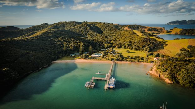
For one of the best views in the area, head to Pakia Hill at Omapere. The lookout has space for a few cars and feels like a spot worth seeking out. From the top, the harbour stretches out below, with the dunes and the Tasman Sea on the horizon.
The drive itself is part of the experience. Approaching from the south along the Twin Coast Discovery Highway gives you the most rewarding views, with the road revealing new angles on the harbour around every corner. The route between the harbour and the Waimamaku River takes in wide open beaches and rocky headlands, making it easy to understand why the Hokianga is described as a fiord-like inlet.
History around the harbour
The Hokianga is an area steeped in history. Māori, Chinese and European stories all weave together here, framed by a unique coastal landscape. New Zealand Geographic has called the Hokianga “harbour of dreams”, a name that captures the sense of possibility that has drawn people to this coastline for generations.
Cultural experiences such as Manea Footprints of Kupe explore the story of Kupe, whose name sits at the heart of the harbour’s full traditional name. But the history is also visible in the landscape itself: in the shape of the harbour that has drawn people to its shores for generations, in the settlements that grew along the water and in the names that remain in everyday use. Exploring the Hokianga means travelling through layers of time as much as geography.
Tips for planning your Hokianga visit
Because the harbour is easily reached from Auckland, it works well for both a dedicated trip and a stop on a wider Northland itinerary. Give yourself time, whatever you plan to do. The Hokianga rewards a slower pace, and the small settlements around the harbour offer plenty of reasons to linger.
Check local advice before heading out, particularly if you plan to drive the coastal routes or visit the dunes. West coast weather can change quickly, and it pays to be prepared. Start with the official tourism websites for Northland and the Department of Conservation when you are putting an itinerary together.
Frequently Asked Questions
Where is Hokianga Harbour in New Zealand?
Hokianga Harbour is on the west coast of Northland in the North Island of New Zealand, on the western side of the North Auckland Peninsula. It is easily accessible from Auckland and other towns in the area, and its coordinates are approximately -35.4835, 173.3936.
What does Hokianga mean?
The full traditional name for the area is Hokianga-nui-o-Kupe, which means “the final departing” in reference to the voyager Kupe. Māori have also called the Hokianga “the nest of the northern tribes” because of its importance as a historic gathering place and homeland for northern iwi.
What is there to do at Hokianga Harbour?
Popular activities include cycling, sandboarding, fishing, kayaking, swimming, horse riding and walking. The giant sand dunes near the coast are a major draw, rising more than 150 metres in places, while lookout points such as Pakia Hill at Omapere offer superb views across the harbour and out to sea.
What is the best way to approach the Hokianga?
The most rewarding approach is from the south, following the Twin Coast Discovery Highway. This route delivers dramatic views as the road meets the rugged coastline between the Hokianga Harbour and the Waimamaku River, with wide open beaches and rocky headlands appearing along the way.